UPDATE, 7:40 P.M.: Thunderstorms packing significant amounts of rainfall are peppering the Des Moines metro, but the National Weather Service has canceled the tornado watch throughout the state.
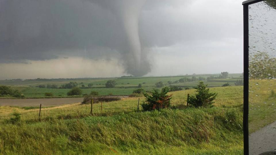
UPDATE, 5:50 P.M.: A confirmed tornado was moving through the Union County seat of Creston just before 6 p.m., according to the National Weather Service.
A trained spotter reported a tornado near the airport moving toward the town at 5:43 p.m.
ORIGINAL STORY: Iowa authorities spotted several tornadoes Wednesday afternoon and evening, and meteorologists warned that more were possible in a storm system expected to move toward the center of the state.
A tornado watch in effect until 9 p.m. includes the state’s southwestern quadrant. It does not include Des Moines but does include Warren County.
Between 2 and 3 p.m., funnel clouds were reported near Clarinda and Riverton, and firefighters reported a brief touchdown with no damage near Hepburn. A second touchdown was reported east of Stanton at about 3:15 p.m. The National Weather Service issued tornado warnings as those scattered storms tracked north.
At about 5:15 p.m., authorities issued a tornado warning for a rural area northeast of Bedford. That storm was moving northeast.
There were no immediate reports of injuries or damage related to the storms. Kevin Skow, a National Weather Service meteorologist in Johnston, says it was not known whether the tornado near Stanton caused any damage.
The Des Moines Register 8:08 p.m. CDT April 27, 2016


