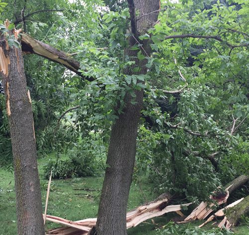
The National Weather Service Huntsville forecast office is releasing its findings after Saturday’s severe storms caused damage in several Tennessee Valley counties.
The latest find is an EF-0 tornado near Skyline in Jackson County. That tornado had a max width of 200 yards a distance of 2.19 miles and peak winds of 85 mph. The time of the tornado was from 5:40 p.m. to 5:45 p.m..
One survey team confirmed an EF-0 tornado in western Franklin County near the Mississippi state line. Winds reached 75 mph with that tornado.
The tornado first touched down 5.5 miles north of Red Bay at 3:31 p.m. Saturday before traveling 5.6 miles and lifting 11 minutes later. Most of the damage occurred in heavily forested area which is not accessible by vehicle.
The survey team also confirmed a 95 mph microburst near Phil Campbell. The event caused “extensive tree damage” according to National Weather Service meteorologists. Some large trees were completely uprooted within the half-mile stretch it impacted.
Another survey team traveled to Cullman County, where winds were estimated to have reached 100 mph. After further analysis, it was determined an EF-1 tornado touched down in the Jones Chapel area.
The tornado traveled 4.39 miles, and it was 200 yards wide at its maximum length. The tornado touched down at 5:40 p.m.
Meteorologists say the tornado may have first touched down near the intersection of County Road 1043 and County Road 1047 where there was roof damage on a barn. The storm damaged several chicken houses before lifting near County Road 991 and 992.
A straight-line wind event in Battleground was also confirmed where winds reached 105 mph. Winds associated with that storm led one National Weather Service meteorologist to say it caused “a considerable amount of damage.”
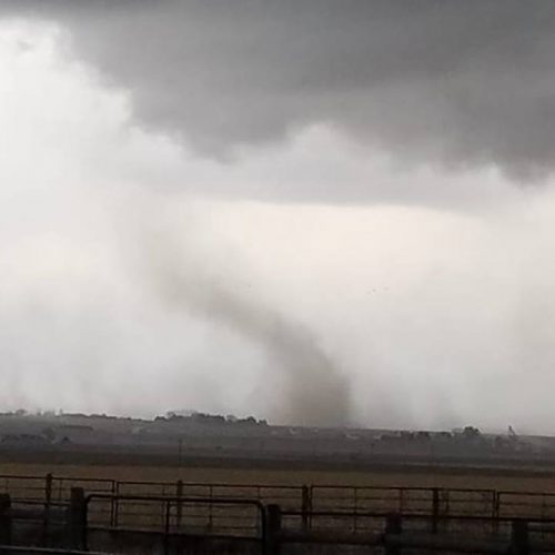
We also received video from Facebook user Nina Williamson, who captured a rotating thunderstorm looking from Cullman.
No one was reported injured as a result of these storms.
by Travis Leder
Apr 24, 2017


