While the Valley was cold, with snow showers Saturday afternoon, parts of Idaho had to deal with severe storms. According to the National Weather Service, a tornado warning was issued for the Idaho Falls area around 6 p.m. Saturday.
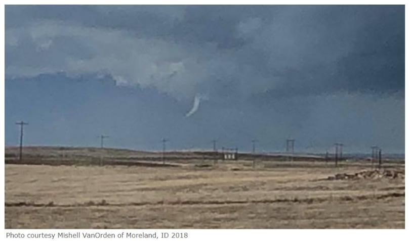
The National Weather Service reports a few pictures of funnel clouds from Moreland, Idaho during that time. There was also a report of “tumbleweeds and tree limbs lofted briefly in the area of 1400 W and US 26.
NWS rated the tornado a ‘low end’ EF-0. An EF-0 means winds are estimated to be 65-85 mph. There were also many wind gust reports in the area from 50-60 mph at the time of the severe storms.
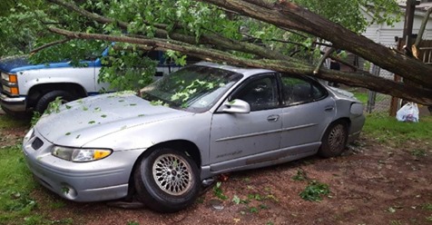
In addition to the tornado, there was damage from strong winds and large hail, approximately golf ball size. Michael Coats, Chief Meteorologist with KIFI in Idaho Falls tells WHSV that hail larger than pea size is pretty unusual for that area.
Coats says the last time a tornado was confirmed in the state was in 2016, and that was also an EF-0 tornado.
KIFI reports that the hail and strong winds damaged windows, siding, and roofs.
In addition to the severe weather in Idaho, there were 3 tornadoes also confirmed in Louisiana on Saturday, and one in Georgia.
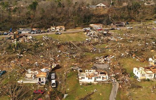
From Friday night, there were 10 confirmed tornadoes in Mississippi and 2 in Louisiana.
By Aubrey Urbanowicz, WHSV | Posted: Mon 8:24 PM, Apr 09, 2018 | Updated: Mon 8:36 PM, Apr 09, 2018

