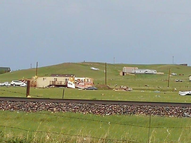
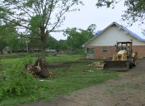
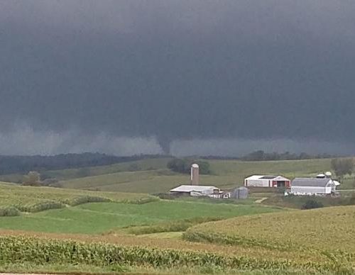
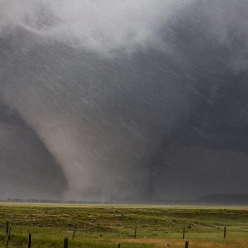
Southeast Wyoming saw its first major Severe Weather outbreak of the season as multiple tornadoes cut a nearly 40 mile path across northern Laramie County on Sunday. The first warnings went out just before 3 pm as Doppler Radar indicated a tornado just to the west of Federal Wyoming.
The Supercell Thunderstorm then moved off to the northeast at roughly 25 miles per hour spawning multiple tornadoes within the storm causing damage and destruction to structures near Federal. The storm photos you see used for this story were taken at Rocking Star Ranch near Federal. As of 5 am we have no reported injuries and total damage from the tornadoes is currently unknown. Finally, after an over 2 hours life span the Supercell Thunderstorm and the tornadoes that were generated by the storm, dissipated after crossing Interstate 25 near exits 25 and 26.
But it wasn’t just tornadoes we had to deal with yesterday. Areas to the west of Cheyenne near Horse Creek saw hail that nearly softball in size indicating just how strong the upward motion was within the thunderstorm.
by Andrew Brightman (2018, May 28) KGWN


