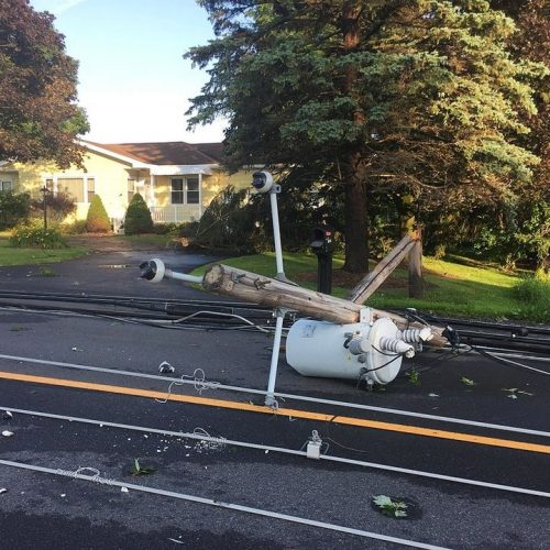
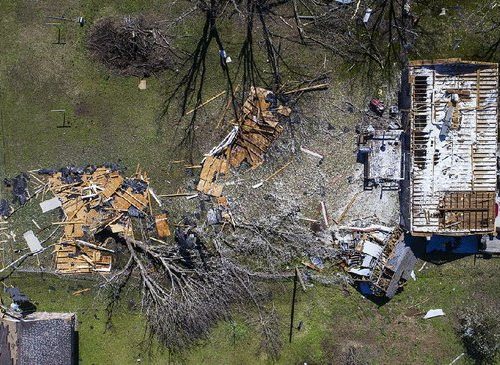
The tornado count from Tuesday’s stormy weather has climbed again.
The National Weather Service in Birmingham has now confirmed five tornadoes touched down in south-central Alabama on Tuesday.
The strongest was an EF2 that stuck Barbour County south of Eufaula.
Three of the others hit just one county.
Pike County had three EF0 twisters, according to the weather service. Two of them touched down just a minute apart.
One crossed right over the runways at the Troy Municipal Airport.
The other tornado added to the count was an EF0 in Montgomery County.
Here’s a look at all five tornadoes:
1. EF2 Barbour County — Peak winds of 130 mph. Path length 7.85 miles. Path width 350 yards. Touched down at 11:34 a.m. Tuesday 3 miles east-northeast of Baker Hill and traveled across the Chattahoochee River and into Georgia. Damaged multiple houses with the worst damage in the Country Club of Alabama neighborhood. No injuries.
2. EF0 Pike County (Troy Airport tornado) — Peak winds of 80 mph. Path length 1.61 miles. Path width 80 yards. Touched down at 10:34 a.m. Tuesday 1 mile west-southwest of the Troy Municipal Airport. The tornado did some tree damage and crossed over the north-south runways at the airport before dissipating. No injuries.
3. EF0 Pike County (Sandfield tornado) — Peak winds 70 mph. Path length 0.83 miles. Path width 180 yards. Touched down at 10:51 a.m. Tuesday in a rural area about 1 mile south of Sandfield and did mainly tree damage. No injuries.
4. EF0 Pike County (County Road 1112 tornado) — Peak winds 70 mph. Path length 0.14 miles. Path width 80 yards. Touched down at 10:33 a.m. about 4 miles west-southwest of Orion. The tornado did tree damage along its short path. No injuries.
5. EF0 Montgomery County — Peak winds 70 mph. Path length 3.33 miles. Path width 190 yards. Touched down 10:23 a.m. 2 miles west-northwest of Meadville. The tornado did mainly tree damage from Smith Gamble Road to Woodley Road. No injuries.
by Leigh Morgan (2020, Apr 2) AL.com


